Projects
Here's just a small sampling of the projects we have provided our GIS services for.
Web & Mobile Data Collection Apps - British Columbia Conservation Foundation (BCCF)
Campbell Geospatial is providing the BC Conservation Foundation with web and mobile data collection apps to help support the investigation of survival bottlenecks for salmon and steelhead throughout the Salish Sea and Southern BC Regions. Learn more about this study at: BottlenecksBrochure2021.pdf (mvihes.bc.ca)
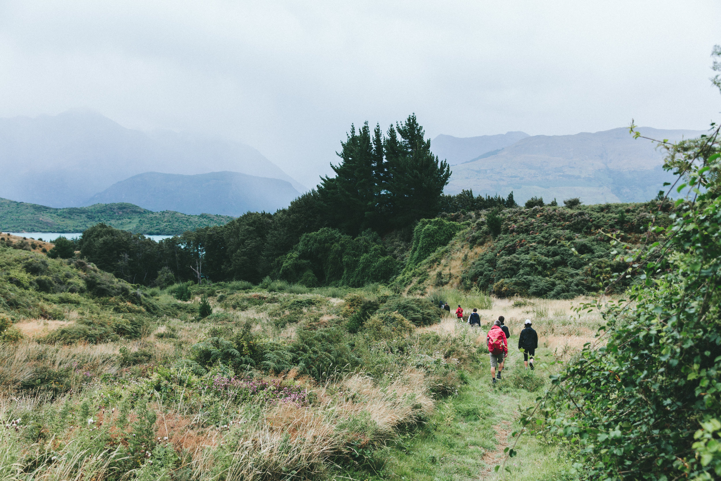
Nanaimo Area Land Trust

Digital Data Management Platform - Village of Masset
Campbell Geospatial modernized asset data, created hard copy maps, published intuitive web apps, and developed a digital data management platform for the Public Works Team at the Village of Masset.

Bathymetric Data Processing and Visualization - British Columbia Conservation Foundation (BCCF)
Campbell Geospatial processed a number of high resolution point clouds into bathymetric products representing lake depth. We produced custom report maps and tabular results to aid in the identification of Lamprey Habitat in Cowichan Lake, BC.

Data Processing and Cartographic Visualizations - British Columbia Conservation Foundation (BCCF)
Campbell Geospatial worked closely with BCCF biologists to create report and presentation maps for a project in the Cowichan Valley, BC. (Marking Juvenile Cowichan River Chinook With PIT Tags To Support In-River Predation and Marine Survival Investigations SSMSP Report)